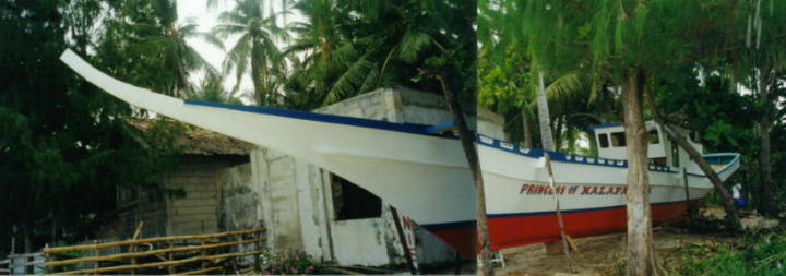
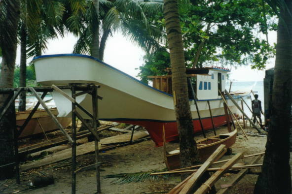
Princess of Malapascua. Built by one of many boatbuilders in Malapascau-Island. Watch that long, long, long bow.... and also the long stem. OutriggerTradingBoat with two engine and two props sitting vertical.
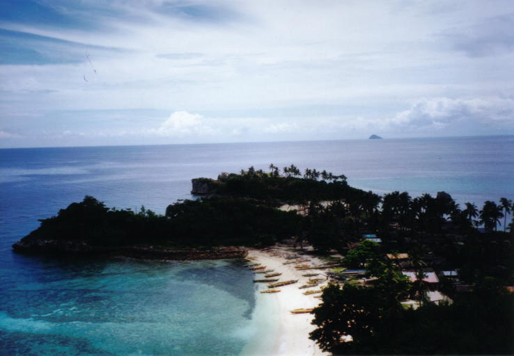
View from the Malapascua lighttower in northern direction. In the background right side you can see a small island which is called GATO-Island. (Sea-Snake Island). This tiny little island (about 8 kilometers far) and its underwater caves with swarms of sea snakes will be an unusual attraction for divers. It is protected by the Philippine Coast Guard as a national park. No fishing around 2 miles is allowed. On the next page, you´ll have some more pictures from GATO-Island. The three Japanese wrecks lying at 30 to 40m depth between two to five sea miles west and north-west (left side of the picture below) of Malapascua will probably end up being favorite destinations for divers. The exact location is: |
Wow! What a long stern!!!
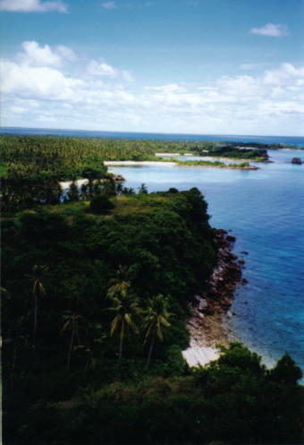
View from the lighttower to the South.. Lefthand (white beach) lies the Barangay Logon. On the righthand far on the horizon, there is Cebu-Island, you can see it. (direction to Maya...)
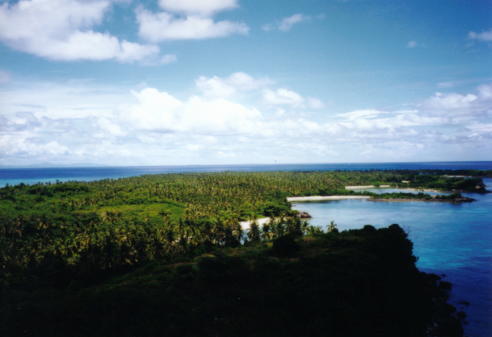
View from the lighttower to the South-East. Leftside in the background horizon you can see the mountains of Leyte.
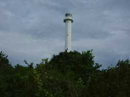
Malapascua Island is about eight km northeast of Cebu and 25 km west of Leyte. It is sometimes referred to as Logon, after Barangay Logon, the main community in the south of the island. A walk around the island, which is 2.5 km long and about one km wide will take you to friendly little fishing villages and deserted idyllic bays, which some of them you can see on the left picture. In earlier times, it's a pity that some of the fishermen in this area did not grasp the simple fact that fishing with dynamite is a wanton act of destruction. Maybe the dollars brought in, brought most of them to their senses, so coral reefs had a chance to regenerate. In 1994 a lighthouse was built on the island, and the panoramic view from the top is a sight worth seeing. This pictures are made from the top of the lighthouse. If you want to go to the lighthouse, just go to the village named Guimbantayam and ask for the lighthousekeeper. He will find a boy who guides you up to the lighttower. Give the boy about P50 for his job. |
Blick vom Malapascua Leuchtturm in nördliche Richtung. Im Hintergrund rechts kann man die kleine Insel GATO sehen (Seeschlangen Insel). Diese kleine Insel (in ungefähr 8 km Entfernung) mit ihrer Unterwasserhöhle und Schwärmen von Seeschlangen ist eine besonderer Attraktion für Sporttaucher. Die Insel ist Nationalpark und wird von der philippinischen Coast Guard beschützt die einen ständig besetzten Posten auf der Insel haben. Angeln und Fischen ist im Umkreis von 2 Meilen um die Insel verboten. Tauchgänge sind erlaubt. Auf der nächsten Seite sehen sie ein paar Fotos von GATO. Die drei japanischen Kriegswracks die in 30-40 meter Tiefe auf Grund zwischen 2 und 5 Seemeilen WestNordWest (linke Bildseite unten) liegen, werden eines Tages aufhören ein beliebtes Tauchziel zu sein. Die genaue Position der Wracks ist: |
1.) 11-21-00N 124-01-48E. deepth=32 meter. SeaChart Nr.(Engl.) 3823. |
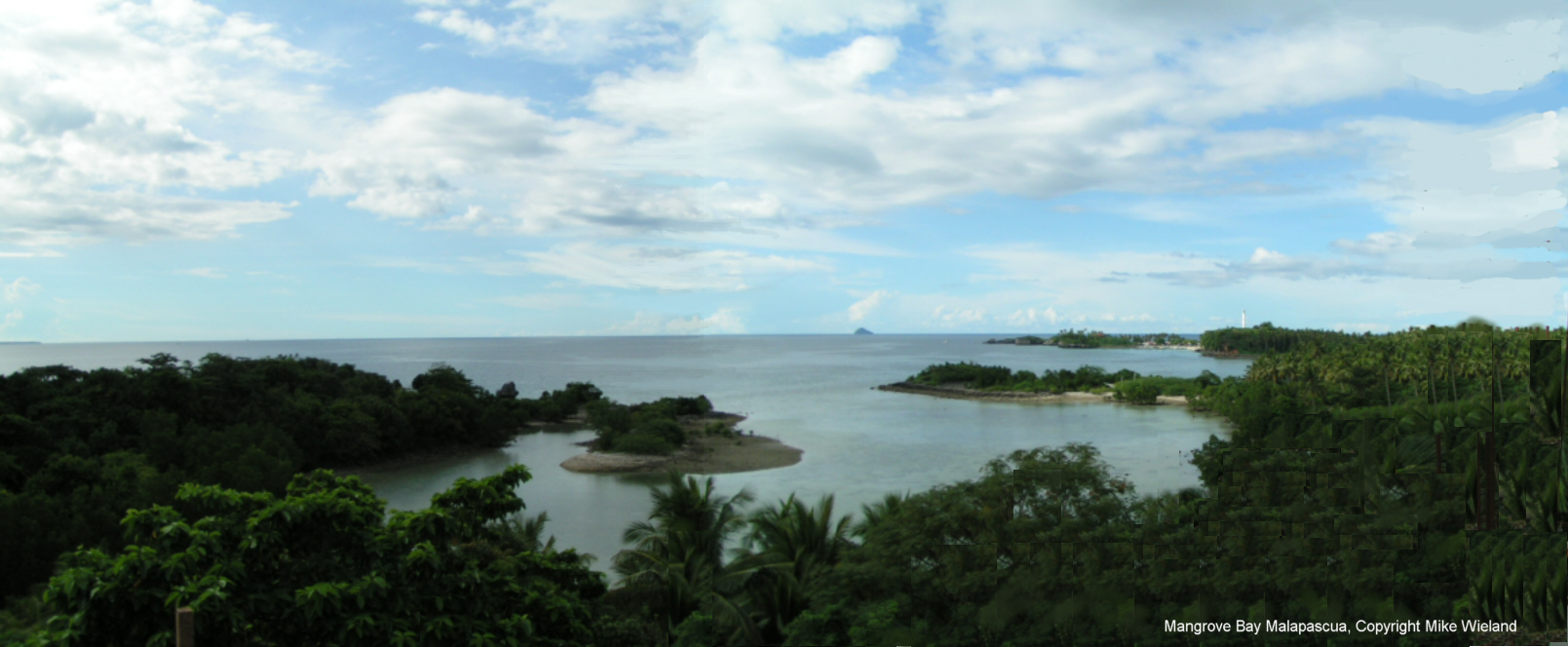
Mangrove Bay
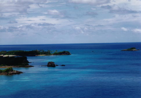
Malapascua Westcoast to North.
As seen from the TopHill of
Mangrove Oriental Resort
Malapascua Island

Visayan Sea, Cebu, Philippines,